
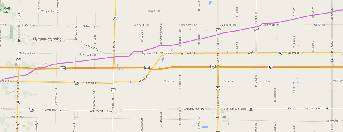
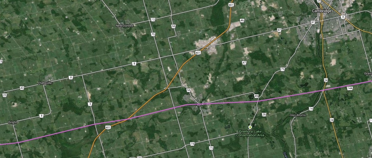
These maps were independently created and have not been verified by Enbridge. They are accurate to the best of my ability using every day mapping technology.
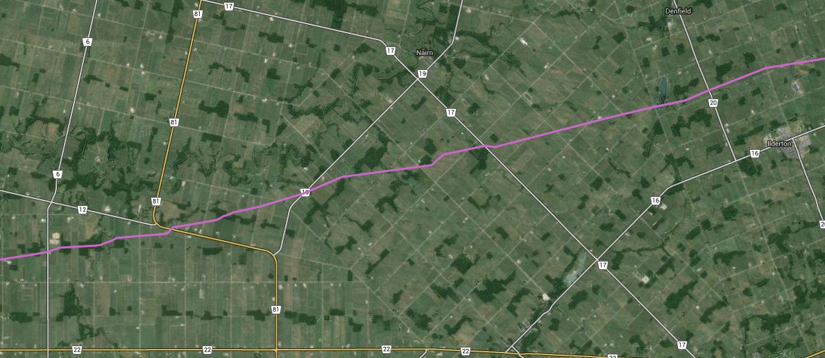
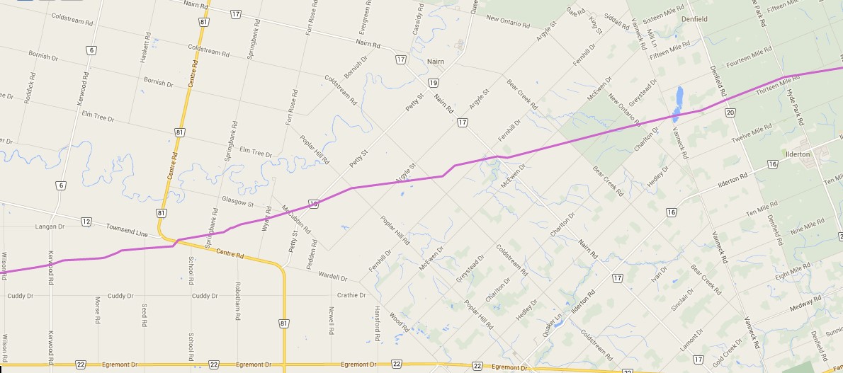
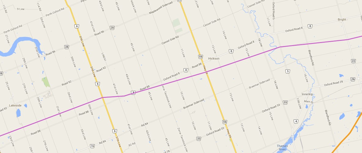
Maps are organized from West to East between Sarnia, ON and Westover, ON (Hamilton) The purple line represents the pipeline right-of-way (ROW).
It is important to note that this ROW has 3 Enbridge oil pipelines in it.
Line 7 – Conditionally approved (2013) for capacity increase to 180,000 barrels per day
Line 8 – Transports 90,000 barrels per day
Line 9A – Conditionally approved for reversal in 2012. Conditionally approved for capacity increase along with Line 9B in March 2014.

Sarnia – Wyoming


Warwick – Watford

Nairn – Ilderton
London – Ilderton – Thorndale


Lakeside – Hickson – Bright

Cambridge – Plattsville

Branchton – Rockton – Westover


For More Detailed Maps – line9communities@gmail.com
